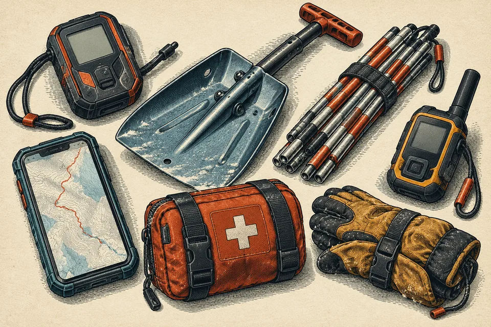
Build a navigation and check-in plan that works with no cellular connection.
THE BUYING DESK · RESEARCHED OCTOBER 9, 2026
Separate route finding from contacting help
An inReach Mini 2 can add satellite messaging to a snowmobile kit when cellular coverage is absent. It is not a substitute for downloaded route information, appropriate maps or knowing which trails are open. The operating subscription is part of the purchase, not a minor detail after delivery.
Shortlist: 3 options, selected for meaningfully different fits, budgets or system approaches. Compare the exact variant and total installed cost.
Product links currently go directly to manufacturers or retailers; we do not earn commissions from these links. How recommendations work.
Garmin inReach Mini 2
A compact satellite communicator for messaging and SOS outside cellular coverage.
Before ordering: Satellite features require an active subscription and suitable sky visibility. Compare current plans and newer models before ordering.
Check current details ↗ZOLEO satellite communicator
Best fit: Groups prioritizing familiar app messaging
A satellite-messaging alternative centered on app-based messaging and SOS.
Before ordering: Compare activation and ongoing plans, device-only operation and coverage with the exact trip needs.
Check current details ↗ACR Bivy Stick
Best fit: Buyers comparing subscription structures and compact hardware
A compact satellite communicator using an app-centered service.
Before ordering: Review the current plan structure, activation, weather limits and device controls before relying on it.
Check current details ↗How we would decide
Choose a communicator according to the messages you need to send, controls you can use and the current service plan. Compare the Mini 2 with Garmin’s current lineup before paying a premium for an older model. Activate, update and practice using it before the trip, with backup navigation available.
Editorial selections based on published product information, not hands-on testing. Follow the linked specifications for the exact variant and current availability.
Fit and purchase checklist
- Download maps for the exact trail system while still connected and verify offline access.
- Carry a compatible power source and keep electronics within operating-temperature limits.
- Check trail closures and land access through the responsible local authority.
- Share the route and expected return time with someone not on the ride.
- Decide whether a satellite messenger is appropriate for the riding area and test activation before departure.
- Keep a non-electronic backup and know the landmarks you can use if the display dies.
The costly mistake
“I downloaded the app” is not the same as “the maps are actually downloaded.”
Save your model, measurements and seller questions